|
|
|
|
|
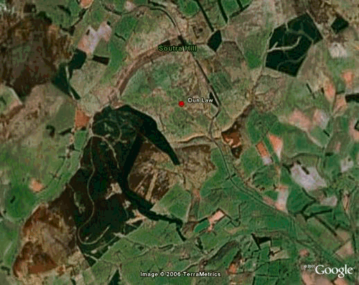
Google Earth Google Earth is a free to use 'digital globe' and proved to be a very useful tool to study the topography and the roughness of the chosen sites. Terabytes of high quality aerial and satellite imagery meant we could zoom in on any area of the planet, allowing us to identify the roughness characteristics like the forests, water and other features of the landscape. By taking the exact coordinates of these characteristics, it is then possible to introduce them into the topography map using WAsP Map Editor.
Note overlapping images not to same scale
|